

News and Media: Disaster 4145
- English
- Español
More About This Disaster
Press Releases & Fact Sheets
PDFs, Graphics & Multimedia
View the Disaster Multimedia Toolkit for social media and video content to help communicate about general disaster recovery.

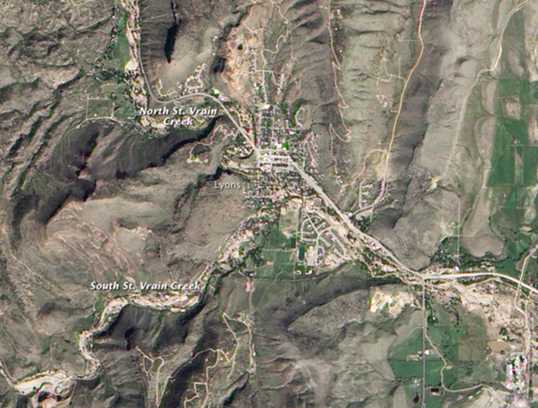
Lyons sits at the base of two canyons, which is one of the reasons it was so impacted by the heavy rains. Two creeks—South Saint Vrain Creek and North Saint Vrain Creek—flow down the canyons and meet in the center of the town to form Saint Vrain River. This image, taken by satellites on September 26th, show the pale tan and white scars where fresh soil was exposed from erosion due to the flash flood. Source. NASA

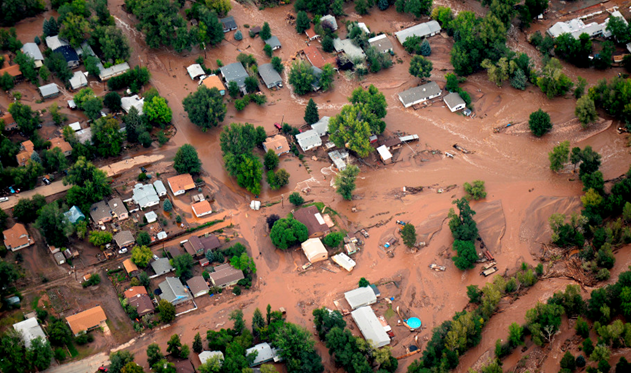
The town of Lyons was flooded by the North and South Vrain Creeks on September 13, 2013.
Source: The Denver Post.
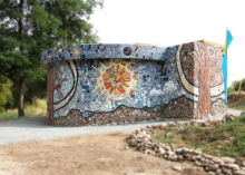
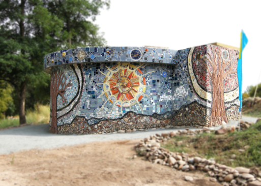
The Clarifier Community Mosaic, which was dedicated in September 2015.
Source: clarifierproject.net
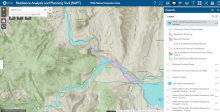
Lyons sits directly to the east of the Rocky Mountains where the north and south St. Vrain Creeks join one another. The blue and purple shading indicate flood zones as defined by the National Flood Insurance Program.
Source: FEMA Resilience Analysis and Planning Tool.

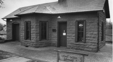
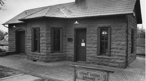
Lyons' historic Train Depot was damaged by the 2013 floods, but was fully restored by 2016. Source: Lyonscolorado.com
Source: Lyonscolorado.com
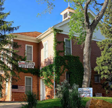
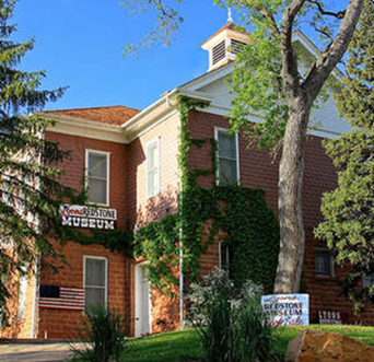
The Lyons Redstone Museum was damaged in the 2013 floods, but was later restored. Originally the schoolhouse in Lyons, the museum now preserves the town’s heritage through exhibits, photographs, and genealogy records.
Source: Lyonscolorado.com
Report mandated by Congress on Preliminary Damage Assessment (PDA) information for FEMA-4145-DR-CO for Severe Storms, Flooding, Landslides, and mudslides.