


This page has not been translated into Español. Visit the Español page for resources in that language.
Region 1 Flood Risk Public Open House Meeting
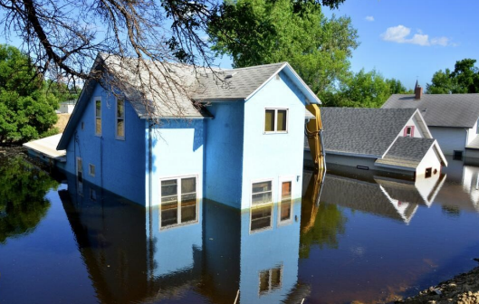
Join FEMA, State, and Local officials for an opportunity to view the updated flood maps for the Suffolk County Charles River Watershed Floodplain Mapping Study.
Fecha: 12 de junio de 2024
Hora: 10:00 pm - 11:30 pm
Ubicación: En el lugar
Boston City Hall, BPDA Boardroom (9th Floor), City Hall Square, Boston, MA
Detalles del Evento
This is an opportunity to chat one on one with FEMA, State, and Local officials to get assistance with:
- Finding your property on new flood maps
- Understanding your flood risk
- Flood Insurance
There is no formal presentation. You may arrive at any time.
Can’t make it to the meeting?
For more information and to view the pending maps, please visit: https://arcg.is/0Hzvqv0
For residents of*/**:
- Boston
- Revere
- Chelsea
- Winthrop
* Riverine Only. Study does not include any coastal updates.
** Note that for some towns only part of the town has updated maps. Please see the yellow line in map above for study area boundary.